


10 km | 13.7 km-effort


Tous les sentiers balisés d’Europe GUIDE+


FREE GPS app for hiking
 SityTrail
IGN / Geographical institutes
SityTrail World
The world is yours!
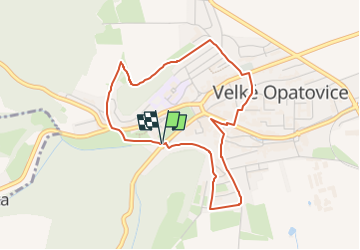
Trail On foot of 3.9 km to be discovered at Southeast, Jihomoravský kraj, Velké Opatovice. This trail is proposed by SityTrail - itinéraires balisés pédestres.
Trail created by cz:KČT.


On foot
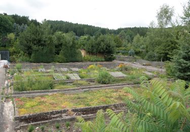
![Trail On foot Jevíčko - [Z] Jevíčko - Moravská Třebová - Photo](https://media.geolcdn.com/t/375/260/4a2c21ce-2e85-4599-a679-af93a46a0a15.jpeg&format=jpg&maxdim=2)
On foot

On foot

On foot